
Rochambeau’s Map of Bolton
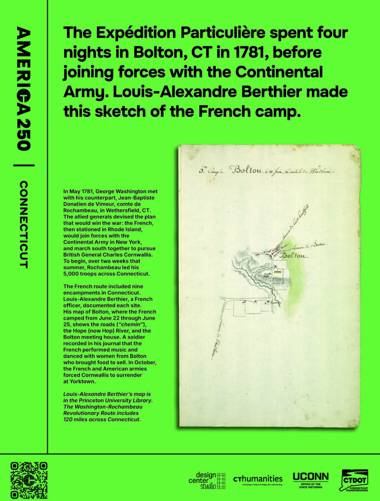
The Expédition Particulière spent four nights in Bolton, CT in 1781, before joining forces with the Continental Army. Louis-Alexandre Berthier made this sketch of the French camp.
In May 1781, George Washington met with his counterpart, Jean-Baptiste Donatien de Vimeur, comte de Rochambeau, in Wethersfield, CT. The allied generals devised the plan that would win the war: the French, then stationed in Rhode Island, would join forces with the Continental Army in New York, and march south together to pursue British General Charles Cornwallis. To begin, over two weeks that summer, Rochambeau led his 5,000 troops across Connecticut.
The French route included nine encampments in Connecticut. Louis-Alexandre Berthier, a French officer, documented each site. His map of Bolton, where the French camped from June 22 through June 25, shows the roads (“chemin”), the Hope (now Hop) River, and the Bolton meeting house. A soldier recorded in his journal that the French performed music and danced with women from Bolton who brought food to sell. In October, the French and American armies forced Cornwallis to surrender at Yorktown.
Louis-Alexandre Berthier’s map is in the Princeton University Library. The Washington-Rochambeau Revolutionary Route includes 120 miles across Connecticut.
Credits
Rochambeau’s map of Bolton is in the Princeton University Library in Princeton, NJ.